Iconic Buttes, Open Highways, and Sculpted Desert Landscapes
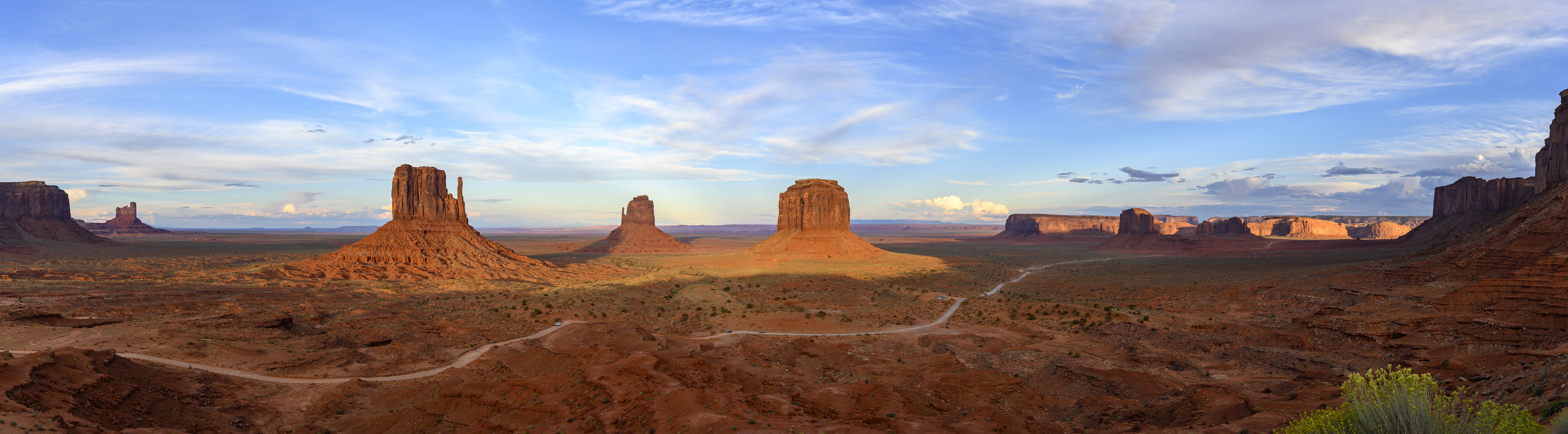
This journey marks a transition from the canyon country of Utah into the vast, iconic landscapes of northern Arizona. Unlike the continuous progression of Scenic Byway 12, this day is defined by contrast and scale—moving from river-carved canyons to open desert highways, and ultimately into the monumental sandstone formations that have come to define the American Southwest. The experience builds gradually, with early stops offering quiet, expansive views before giving way to the dramatic silhouettes of Monument Valley and the sculpted slot canyons near Page. It is a day of long sightlines, cultural connection, and some of the most recognizable scenery in the region.
How to navigate with your mobile device
JCVWalks are designed to be easy to follow on your mobile device. As you travel from point to point, you can tap the header or photo for each point of interest to open the location directly in Google Maps. This will help you navigate from your current location to the next point of interest. If you’d like to learn more about any stop along the way, just click the links in the description for additional details and context.
Route Information
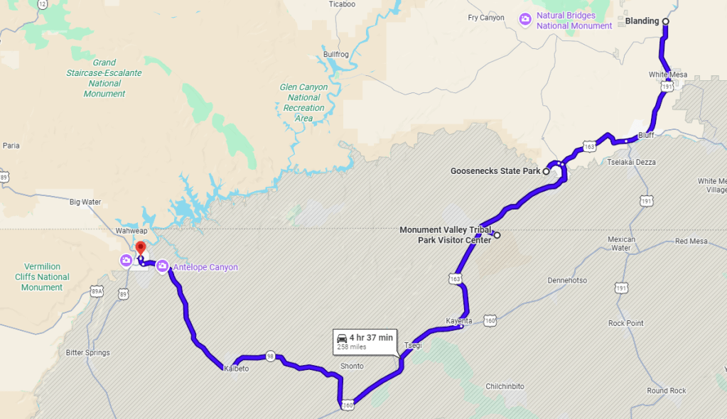
The route begins in Blanding, heading south on US‑191 through lightly traveled high desert toward Bluff and Mexican Hat. From there, a short detour leads to Goosenecks State Park before returning to US‑163, where the landscape begins to open and Monument Valley’s buttes slowly emerge on the horizon. Continuing south, the drive passes a series of well-known viewpoints and informal stops before reaching the Monument Valley Tribal Park entrance and Visitor Center. From here, the route turns west toward Kayenta and then across US‑160 and US‑98, where the terrain broadens into open desert plateau before narrowing again near Page. The day concludes with a visit to Antelope Canyon and an overnight stay in the Page area.
Depart Blanding (US‑191 South toward White Mesa/Bluff)
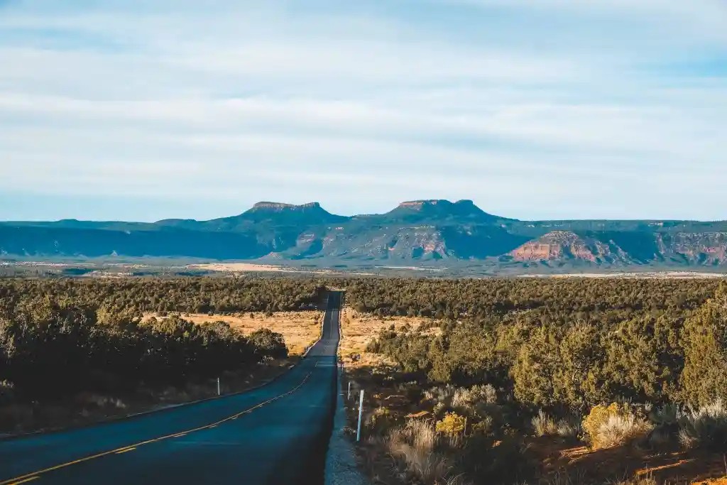
We begin our drive departing Blanding, heading south on US 191 as the town quickly gives way to open high desert. The landscape stretches wide in every direction, with low shrubs, distant mesas, and long sightlines that create an immediate sense of space and calm. Traffic is light, allowing us to settle into an easy rhythm while taking in the quiet beauty of this transitional terrain. This opening stretch serves as a gentle introduction to the day—unhurried and expansive—before the scenery begins to sharpen and the rock formations ahead grow more defined.
White Mesa
As we continue south, we pass through the small community of White Mesa, where the rise of the mesa itself appears just beyond town, its pale, chalky slopes contrasting softly against the deeper reds and browns of the surrounding desert. This area holds both geological and cultural significance, as the town is home to members of the Ute Mountain Ute Tribe and reflects a long-standing connection to the land. The openness here is striking, with few structures beyond the community and little interruption to the horizon, offering a quiet, grounded transition into the more rugged landscapes ahead.
Bluff
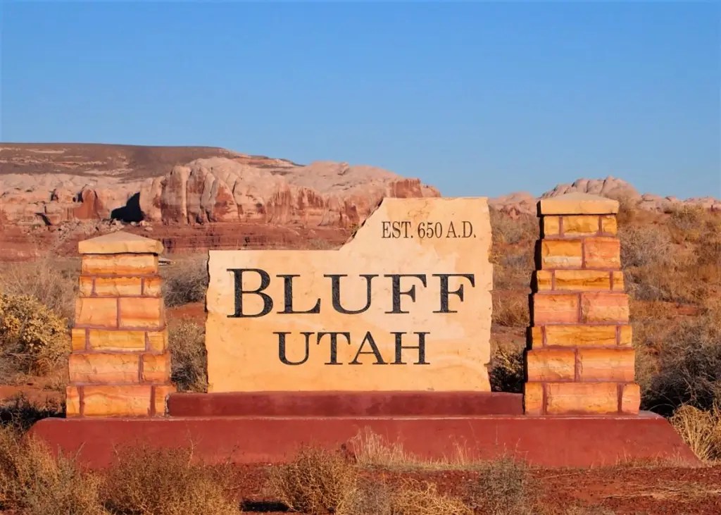
Next, we arrive in Bluff, a small and quietly historic town set along the San Juan River. Cottonwood trees and green patches of farmland create a welcome contrast to the surrounding desert, giving the area a settled, almost timeless feel. As we pass through, we glimpse sandstone cliffs rising dramatically behind the town, framing the river corridor that has shaped life here for generations. Bluff feels grounded and authentic, offering a brief moment of human scale within the vast landscape. It’s a natural pause point before the road carries us deeper into more rugged and visually striking terrain.
Rock Formations
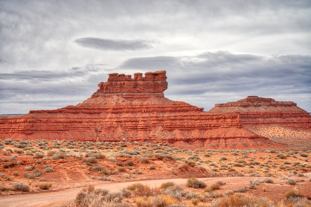
Continuing south from Bluff toward Mexican Hat, the landscape begins to take on a more sculpted character. We watch as distinct rock formations emerge along the roadside, each with its own personality shaped by time and erosion. The slender towers of the Seven Sailors rise unexpectedly from the desert floor, while Beethoven’s Head invites a second glance as its profile comes into view. Nearby, Hokas Peak stands broader and more grounded, anchoring the horizon. This stretch rewards attentive driving, as the terrain shifts from open expanses to a gallery of natural formations that hint at the iconic scenery still ahead.
Goosenecks State Park
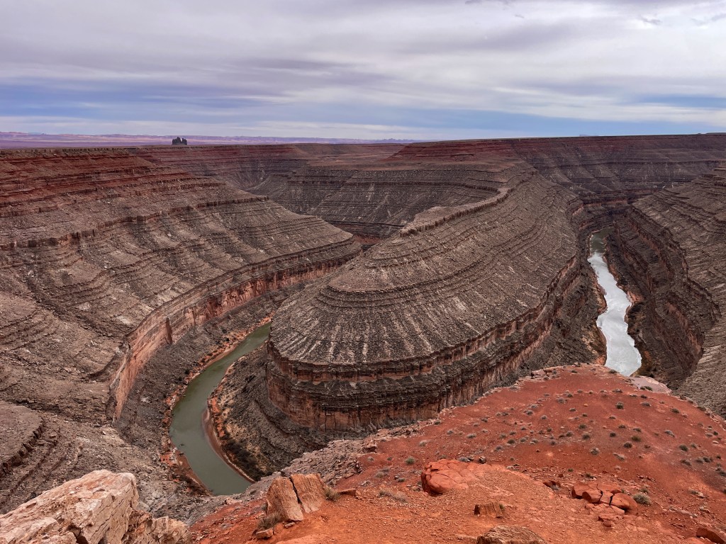
Next, we turn right onto UT 316 and follow the paved road for about four miles to Goosenecks State Park. From the rim, we look down on the San Juan River as it winds through a series of tight, looping bends carved deeply into the canyon over millions of years. The scale is immediately striking, with dramatic vertical drops and layered rock revealing the passage of time. The viewpoint is easily accessible, requiring only a short walk from the parking area, yet delivers one of the most visually compelling scenes of the day. It’s a quiet, powerful stop worth taking in slowly.
Mexican Hat
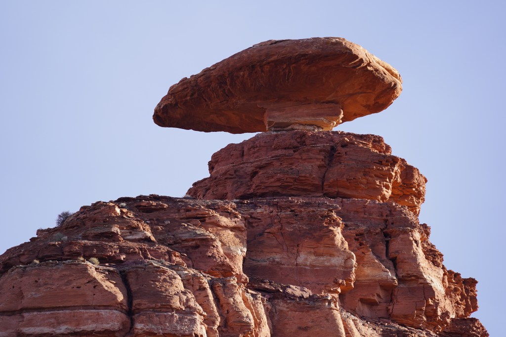
Returning to US 163, we continue south toward Mexican Hat, where the landscape begins to open into broader desert terrain. The road stretches forward with a sense of ease, while the horizon gradually introduces the distant forms of Monument Valley. Near the small town, we can spot the distinctive balanced rock formation that gives Mexican Hat its name, perched improbably atop a narrow base. This stretch feels transitional, shifting from river-carved canyon country into the expansive desert plains ahead. It’s an unhurried segment of the drive, where the scenery builds subtly and anticipation grows for what lies further south.
Optional Diversion – Moki Dugway
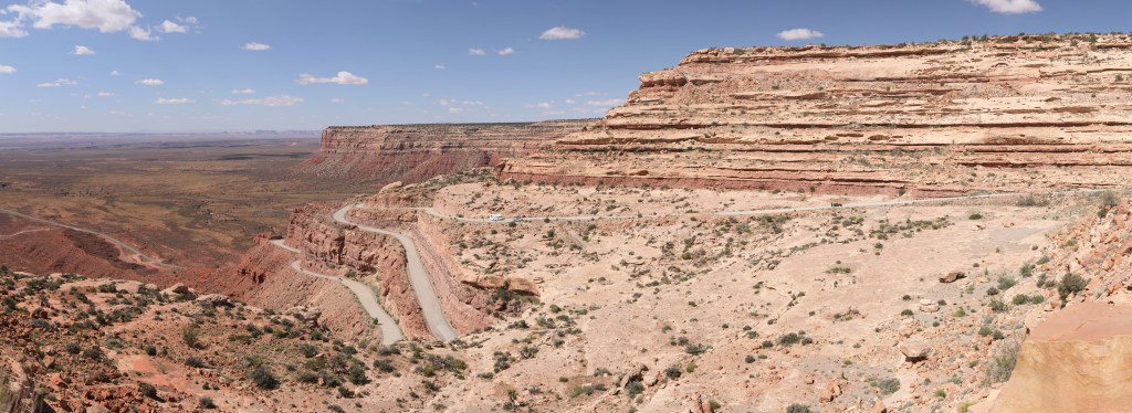
For travelers seeking an additional adventure, consider a side trip from Mexican Hat to the Moki Dugway, a spectacular section of UT 261 that climbs 1,200 feet up the face of Cedar Mesa via a series of steep gravel switchbacks. Originally built in the 1950s to support uranium mining, the well-maintained dirt road offers breathtaking views across the Valley of the Gods, the San Juan River basin, and the distant monuments of Navajo Country. From Mexican Hat, drive north on UT 261 for approximately 10 miles to reach the base of the Dugway. The unpaved switchback section is only about 3 miles long to the turn out for the Valley of the Gods Viewpoint but gains elevation rapidly and ranks among the most memorable drives in Utah. At several pullouts, you’ll find panoramic views stretching for dozens of miles across the desert landscape. Note, this diversion is an out and back which will add approximately 20 miles round-trip and 45–60 minutes of time to your day.
Forrest Gump Point
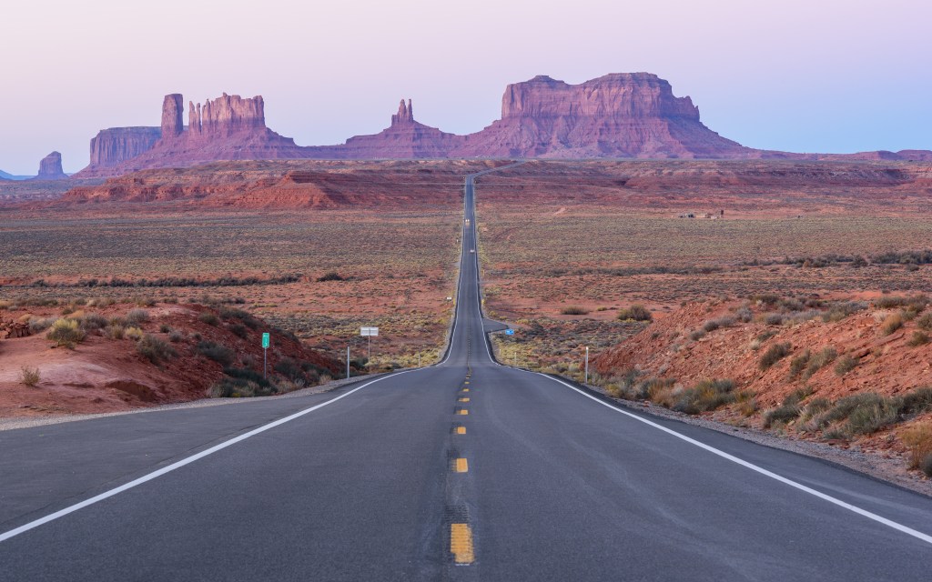
Continuing south, we arrive at the well-known Forrest Gump Point, where the highway runs straight toward the towering buttes of Monument Valley. The view is instantly recognizable, with the road narrowing into the distance and perfectly framing the dramatic landscape ahead. While the stop is quick and located directly along the roadside, it often attracts visitors who step into the road for photos, which can create safety concerns. It’s best to slow down, stay aware of traffic, and decide if a brief stop feels comfortable. Even without stopping, the perspective from the car captures the scale and beauty of this iconic stretch.
North Monument Valley Viewpoint
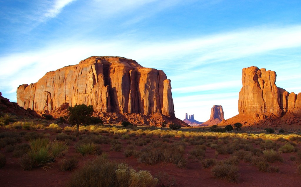
As we continue south on US 163, we reach a natural roadside viewpoint where Monument Valley begins to fully reveal itself. From here, the iconic buttes rise clearly from the desert floor, their forms both distant and commanding against the wide horizon. This is an easy and worthwhile pause, requiring no more than a short step from the car to take in the scene. The openness of the approach gives a sense of scale that photographs can’t quite capture, making it a perfect introduction before entering the Tribal Park and experiencing the formations up close.
Monument Valley Navajo Tribal Park
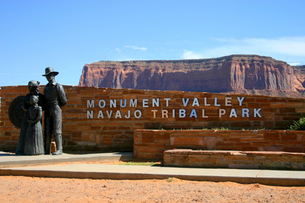
Having crossed into Arizona, we now enter the Navajo Nation and arrive at Monument Valley Navajo Tribal Park, one of the most iconic and recognizable landscapes in the American Southwest. More than a scenic destination, this is tribal land with deep cultural and spiritual significance to the Diné (Navajo) people, whose connection to this landscape extends across generations. We will begin at the Visitor Center, where a short walk reveals a breathtaking panorama of towering sandstone buttes rising from the desert floor. The scale is difficult to appreciate until standing here, looking out across the vast valley framed by the famous East and West Mittens and Merrick Butte. Even without venturing further, plan to spend 20 to 30 minutes taking in this remarkable view.
For those with time, the 17-mile scenic drive offers the opportunity to descend into the valley and experience the landscape from a completely different perspective. The route winds among legendary formations including the Mittens, Elephant Butte, Three Sisters, and John Ford’s Point, where countless films and photographs have captured the spirit of Monument Valley. The road is unpaved and often rough, but the changing viewpoints and close-up encounters with these monumental formations make the journey unforgettable. Allow two to three hours to explore the scenic drive comfortably, making this the defining experience of the day and one of the most memorable stops of the entire trip. Allow approximately two to three hours to complete the drive at a comfortable pace, making this the defining centerpiece of the day.
Kayenta
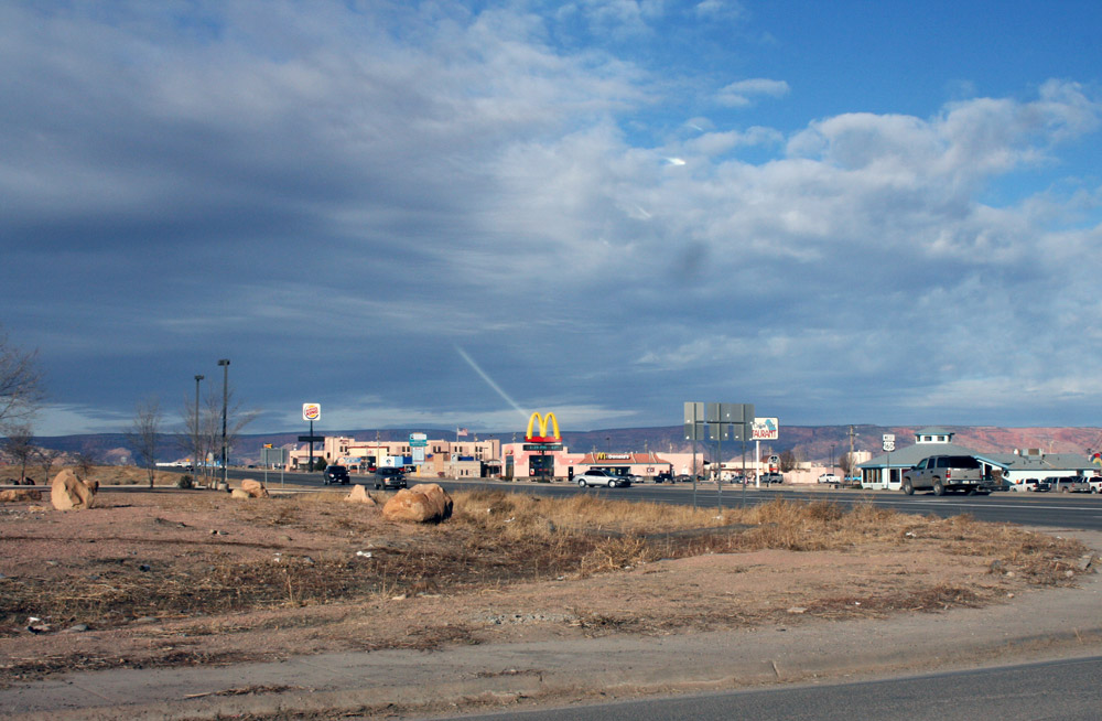
Leaving Monument Valley (and Utah) behind, we continue south on US 163 to Kayenta before turning west onto US 160. The transition is noticeable as the towering buttes recede into the distance and the landscape opens into broad expanses of high desert. Long sightlines stretch toward the horizon, creating a sense of space and solitude that contrasts with the dramatic scenery of the valley. Kayenta serves as a practical crossroads for travelers crossing the Navajo Nation and marks the beginning of the journey west toward Page. This quieter stretch offers time to reflect on the morning’s experiences while enjoying the vastness of the surrounding desert.
Antelope Canyon
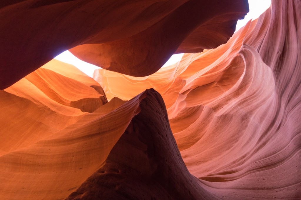
Just outside Page, Antelope Canyon offers one of the most remarkable slot canyon experiences in the American Southwest. Located on Navajo Nation land, the canyon can only be visited as part of a guided tour operated by authorized Navajo tour companies, providing visitors with both safe access and insight into the cultural significance of the area. Upper Antelope Canyon is famous for its narrow passageways and seasonal light beams, while Lower Antelope Canyon features ladders, tighter corridors, and a more adventurous route. Travelers may also wish to consider Canyon X, a less-crowded alternative offering the same beautifully sculpted sandstone formations and dramatic colors. Over centuries, flash flooding carved these canyons into flowing walls and graceful curves that rank among the most photographed landscapes in the region. Because this has already been a full day of driving and sightseeing, and advance reservations are generally required, consider saving an Antelope Canyon or Canyon X tour for the following morning when you can enjoy the experience without feeling rushed. It makes an ideal starting point for your first full day in the Page area.
Page
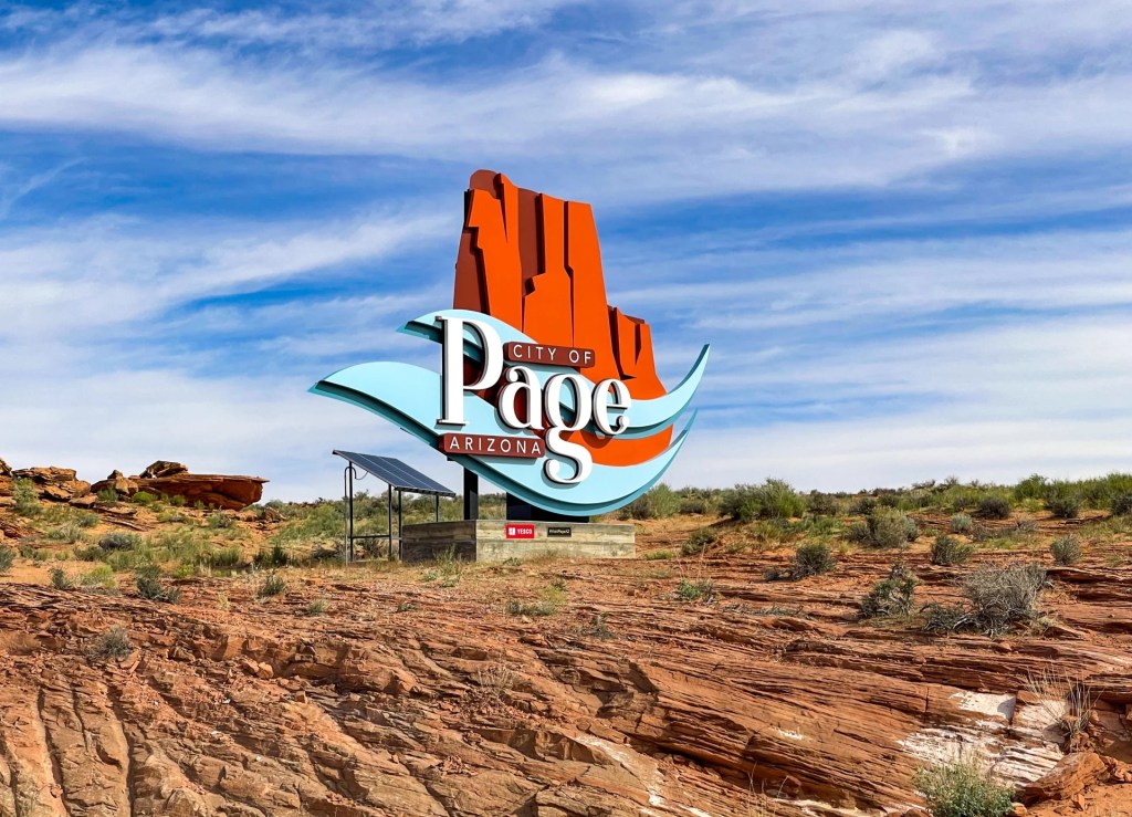
We conclude the day in Page, a welcoming base for exploring some of northern Arizona’s most celebrated natural attractions. Situated near Lake Powell, Antelope Canyon, and Horseshoe Bend, the town serves as a convenient hub for travelers moving between Utah’s canyon country and the deserts of Arizona. After a day filled with dramatic vistas, long drives, and unforgettable landscapes, Page offers the perfect opportunity to relax, enjoy a good meal, and recharge for the adventures ahead. Whether your plans include a canyon tour, a visit to Horseshoe Bend, or time on the lake, tomorrow’s explorations begin from here.
Thanks for exploring with me!
If you enjoyed this exploration of Monument Valley, found a hidden gem, or have ideas for improving the experience, I’d love to hear from you! Your insights help me improve future experiences and inspire fellow travelers. Please rate this walk using the stars below — and feel free to leave a comment. Thank you! — and happy exploring!


Click here for more JCV Walks & Rambles
Your journey doesn’t have to end here. Choose another experience and let’s keep exploring together—one step (or mile) at a time.
Zion National Park
Experience the canyon from within along riverside trails and scenic paths beneath towering sandstone walls. A balanced mix of easy walks and striking views, with an option to explore by bike or shuttle.
Bryce Canyon National Park
Walk the rim and descend among Bryce’s iconic hoodoos, where sculpted rock formations rise in vivid colors from the canyon floor. A mix of easy viewpoints and immersive trails offers a close-up experience of one of the Southwest’s most distinctive landscapes.ption
Scenic Byway 12 and Capitol Reef
Follow one of Utah’s most scenic roads as it winds across ridgelines, through red rock country, and over high mountain terrain before descending into Capitol Reef. A mix of short walks, viewpoints, and an easygoing park experience, where the landscape unfolds gradually rather than around a single landmark.
Photo Credits
- Monument Valley Cover By Mgimelfarb – Own work, CC0
- Depart Blanding by Megan at Aroundtheworld.com
- Bluff UTah by Onward trip.com
- Rock Formations By Mobilus In Mobili – Utah Seven Sailors Butte, CC BY-SA 2.0
- Goosenecks State Park By Vulturesong – Own work, CC0,
- Mexican Hat, UT By Steven Baltakatei Sandoval – Own work, CC BY-SA 4.0,
- Moki Dugway By Daniel Schwen – Own work, CC BY-SA 4.0
- Forrest Gump Point By King of Hearts – Own work, CC BY-SA 4.0,
- Monument Valley Tribal Park By Roland Arhelger – Own work, CC BY-SA 4.0,
- Monument Valley Scenic Drive By Ben Salter – CC BY 2.0,
- North Window Viewpoint By widybrad – BY-SA 2.0,
- Navajo Indian Market by Curt Pack on Google Maps
- Kayenta, AZ By Martinpulido – Own work, CC BY 3.0,
- Antelope Canyon By Supercarwaar – Own work, CC BY-SA 4.0
- Page, AZ by Adri on Travel Tip Zone

